
Visuals Above Expectations
Our Services

Land Survey
Our drone-powered land survey analysis provides high-resolution images and data for accurate site assessments. From construction planning to environmental studies, we deliver fast, precise, and cost-effective insights to support your project’s success.

Marine Survey
Our advanced underwater drones provide high-resolution marine survey analysis, capturing seafloor mapping, structural inspections, and environmental assessments with precision. Whether for offshore projects, marine research, or coastal monitoring, we deliver accurate, real-time data to support informed decision-making.

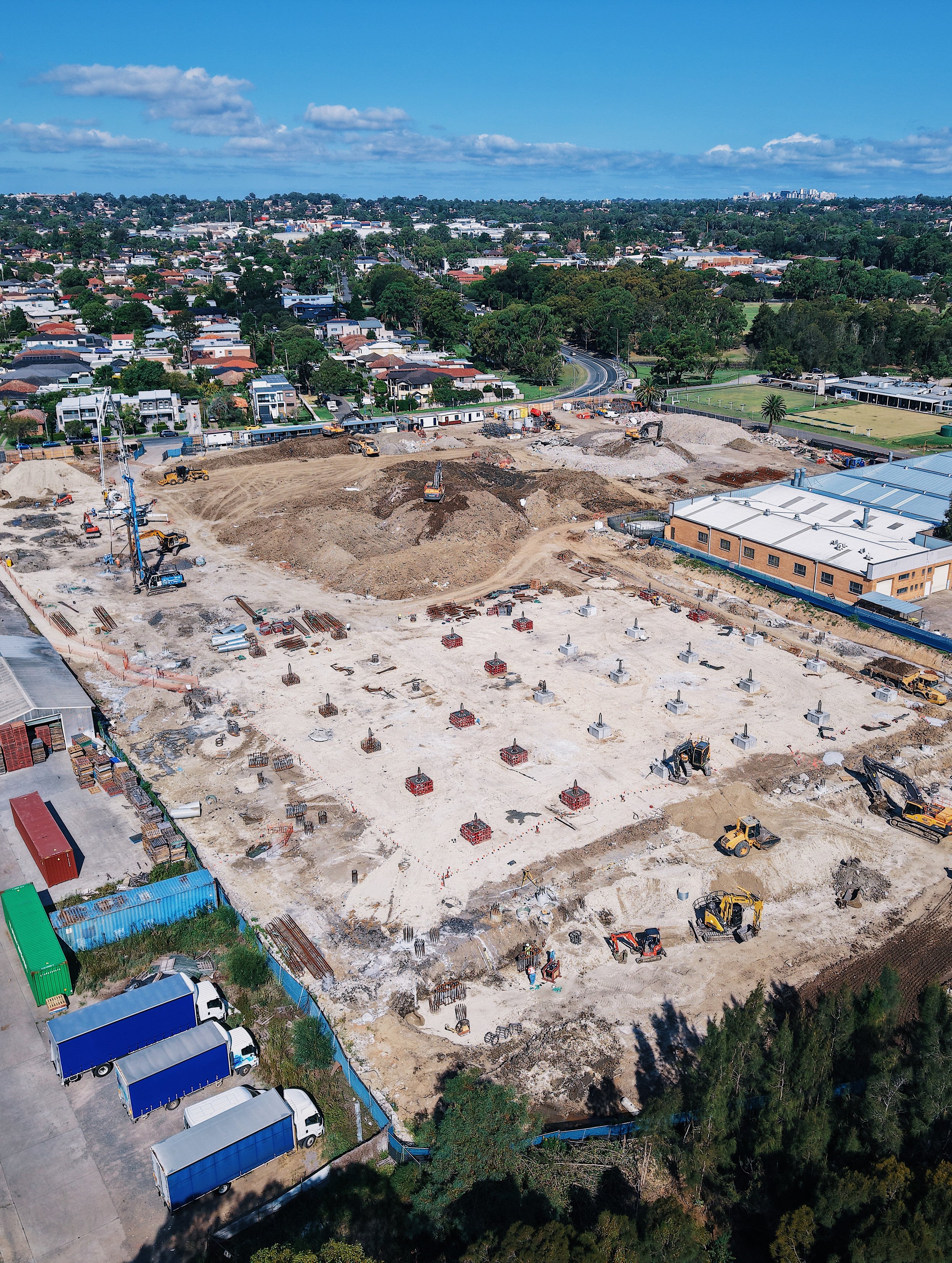
Site Survey & Report
Our drone-powered construction site surveys deliver high-resolution aerial mapping, progress tracking, and safety assessments with precision and efficiency. Each survey includes a final report with actionable insights to help you stay on schedule, reduce costs, and make informed decisions.
Elevate Your Project
We leverage technical expertise and creative vision to deliver precise aerial and marine drone survey analysis for construction projects across Hong Kong and Australia.

Contact Us
Interested in working together? Fill out some info and we will be in touch shortly. We can’t wait to hear from you!